Nichole McDaniel Art Travel Adventure

Death Valley

A Day in Death Valley: Mesquite Flat Sand Dunes

Mesquite Flat Sand Dunes

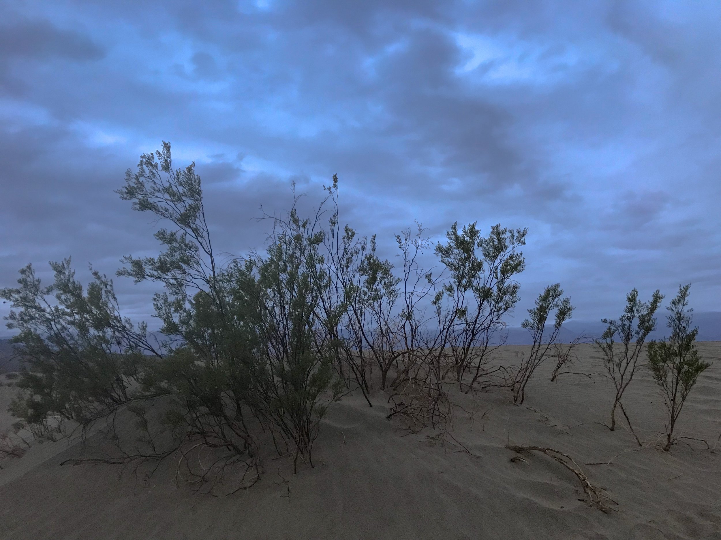
Just a few of the shrubs found among the Mesquite Flat Sand Dunes.Photo By: Nichole McDaniel

Just a few of the shrubs found among the Mesquite Flat Sand Dunes.

Photo By: Nichole McDaniel

Having my day slightly planned out, my goal was to photograph the Mesquite Flat Sand Dunes at sunset. It was a little longer drive, but on my way out of the park. Timing wise, I got there just in time for sunset with the hope that the sun would peak out of the clouds. I hiked several sand dunes. Considering the fact I had just drove over 4 hours through the night in the rain, slept in the freezing weather in my car, and had just explored Death Valley all day in the rain, I was tired but determined.

There are photos shot here with amazing shadows cast on the smooth wind blown dunes. Today the small amount of rain from throughout the day packed the sand to the ground, making it more textured than smooth. I can see the potential for amazing shots here especially at sunset or sunrise. I will just have to come back.

Before I visited Death Valley or started researching it, I couldn’t understand why anyone would go to Death Valley. Death Valley is actually the largest National Park in the Continental United States and probably one of the most unique. With amazing hikes and unique landscapes this is defiantly a must see. Just time it right with the weather and come prepared. I only spent one day here but could easily have stayed the night and enjoyed hiking and exploring more of the desert.

Now to begin the drive to The Sequoia National Forest… Day 2

Sunset glow over the Mesquite Flat Sand Dunes in Winter. Death Valley, CA.Photo By: Nichole McDaniel

Sunset glow over the Mesquite Flat Sand Dunes in Winter. Death Valley, CA.

Photo By: Nichole McDaniel

A Day in Death Valley: Badwater Basin

Badwater Basin

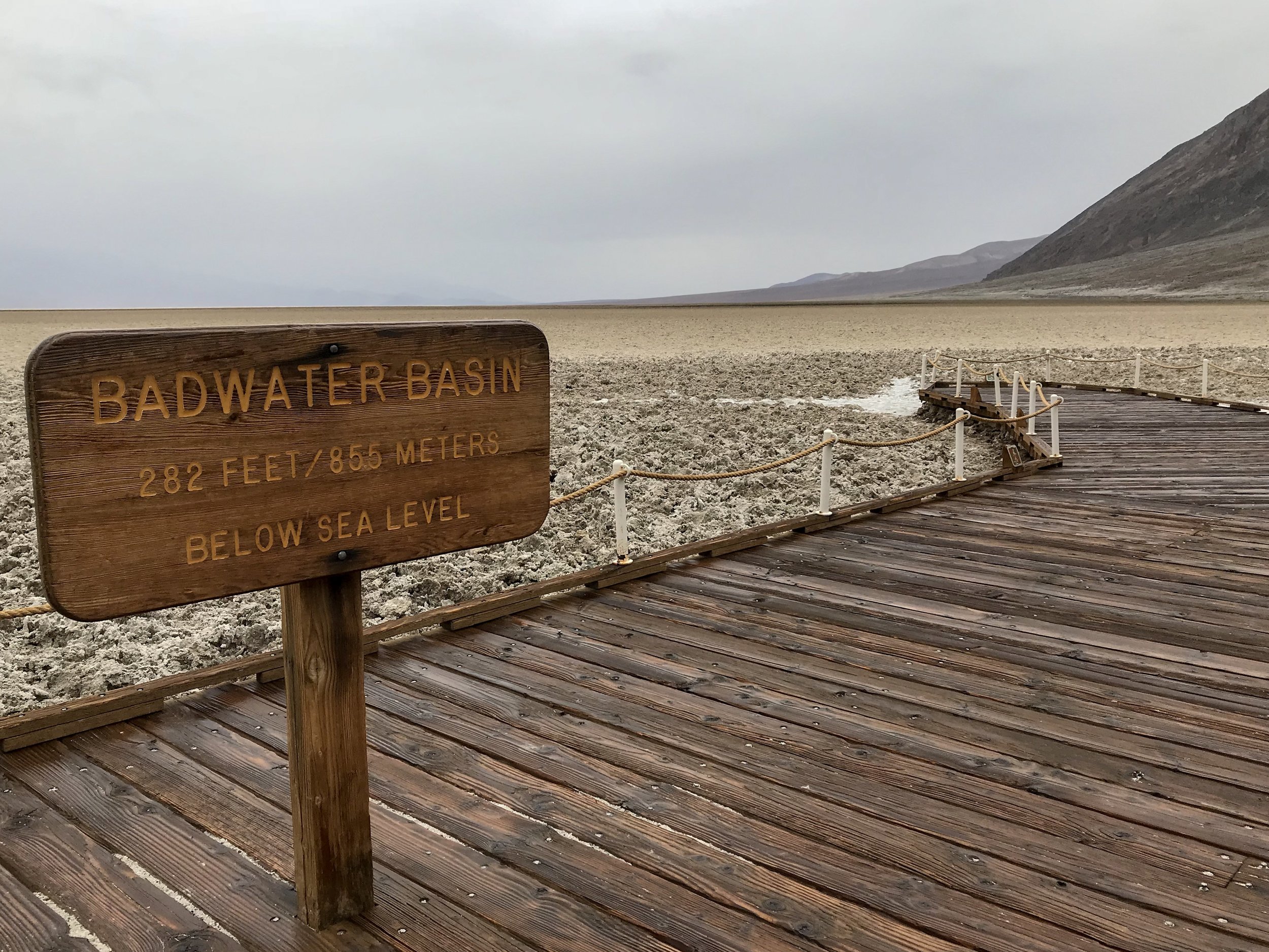
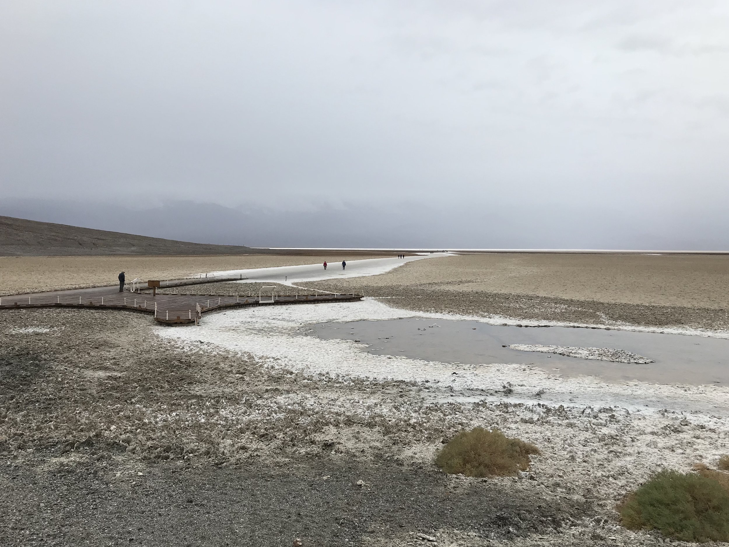
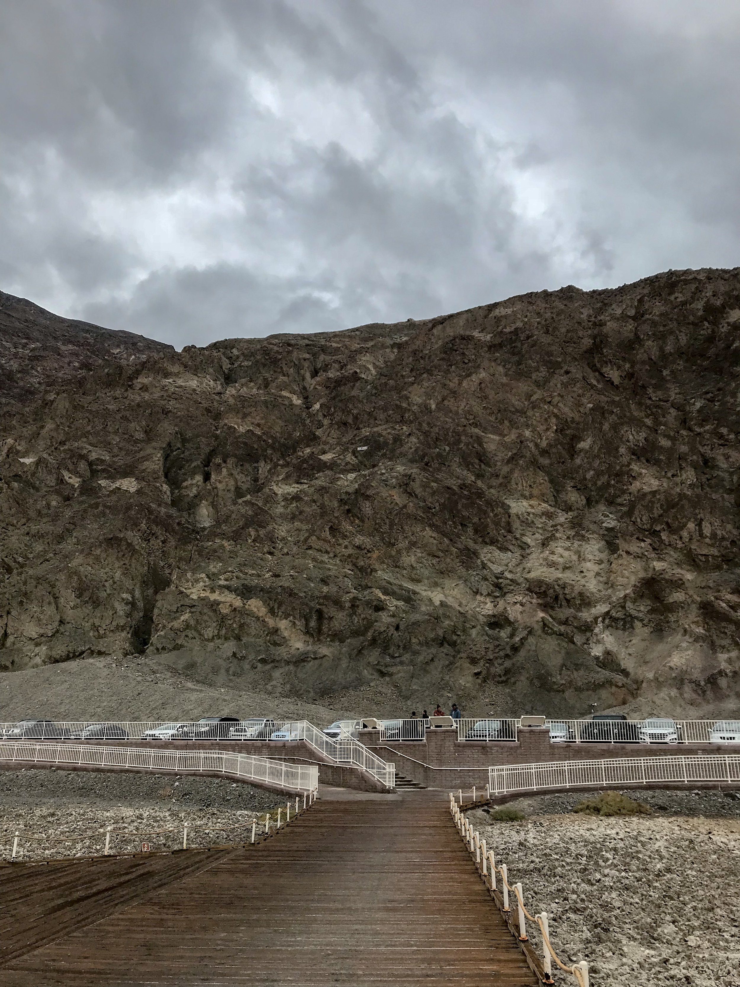
Bad water Basin 282 Feet Below Sea Level, No Big DealPhoto By: Nichole McDaniel

One of the most memorable experiences of my trip was Badwater Basin. Rain stopped for a moment and I was able to enjoy the solitude and beauty of the surrounding area. Badwater Basin got it’s name after it was stated that the pools of water that can be found close to the parking lot contained “bad water.” Although the water is unsafe to drink due to the salt, some desert animal and plant life rely on this water.

Badwater Pool Informational SignBadwater Basin, Death Valley National Park, Photo By: Nichole McDaniel
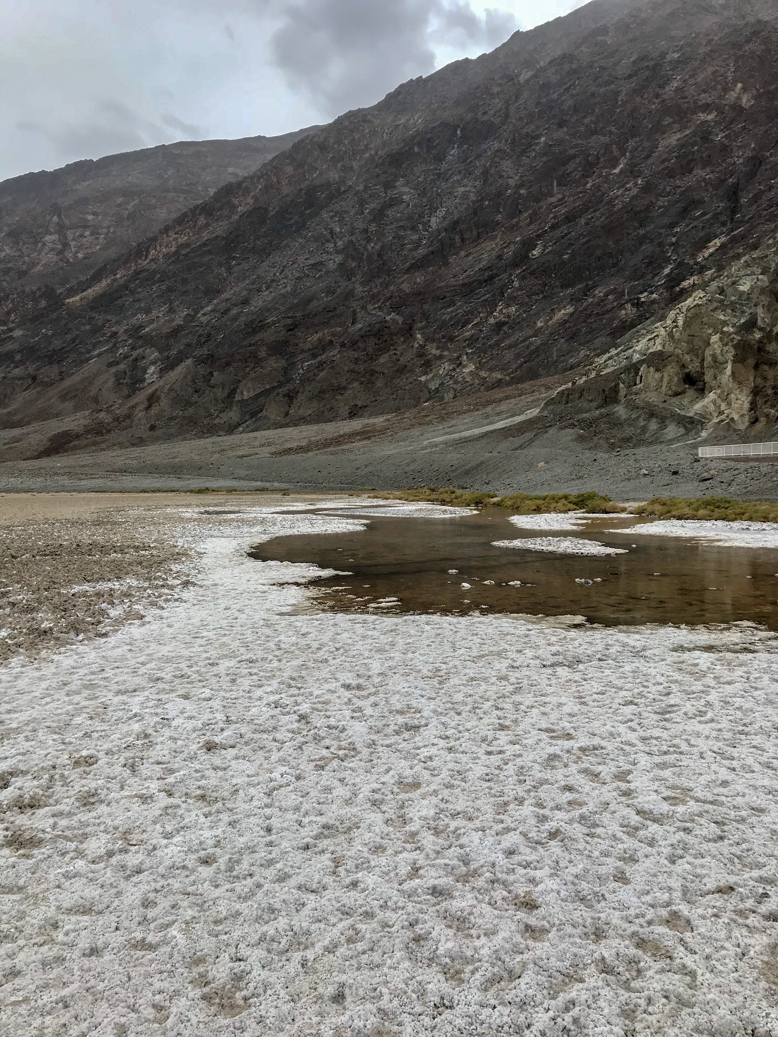
I kind of lucked out with the stormy day, there were still visitors out in the desert but it was not as crowded as I’m sure it can get. Walking out to the salt flats is a good distance, but was easy and enjoyable looking at the glowing salt underneath my feet. I’m sure it is another story in the heat of summer. The desert here can get extremely hot! On July 10, 1913, Death Valley hit a sizzling 134 degrees F, the hottest temperature ever recorded on Earth!

Panoramic Photo of Badwater Basin lowest point in North America, 282 feet below sea level. This is salt not snow by the way!Photo By: Nichole McDaniel
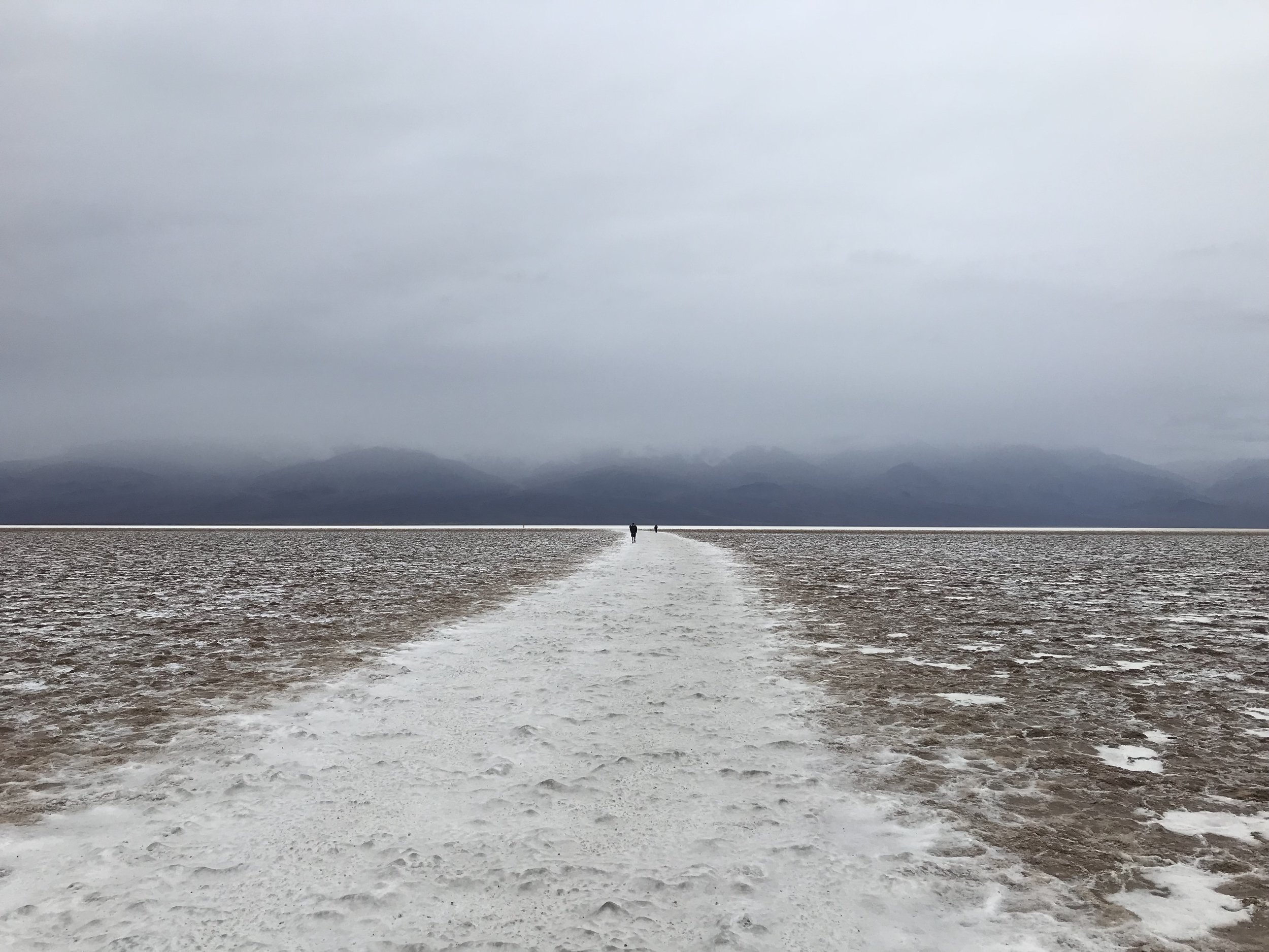
Panoramic Photo of Badwater Basin lowest point in North America, 282 feet below sea level. This is salt not snow by the way!

Photo By: Nichole McDaniel
Here is a link to wikipedia it gives a more detailed description of how the ancient lake evaporated over time leaving the salt crust we see today. Fun Fact: Death Valley also has the highest potential evaporation rate in the United States, with a potential 150 in. annual evaporation rate, meaning a 12 ft. lake could evaporate in a year!

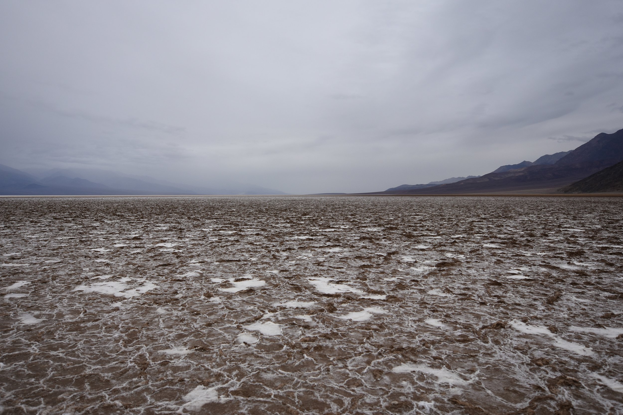
I couldn’t help but take in the views of the storm and Badwater Basin, Death Valley, CAPhoto By: Nichole McDaniel
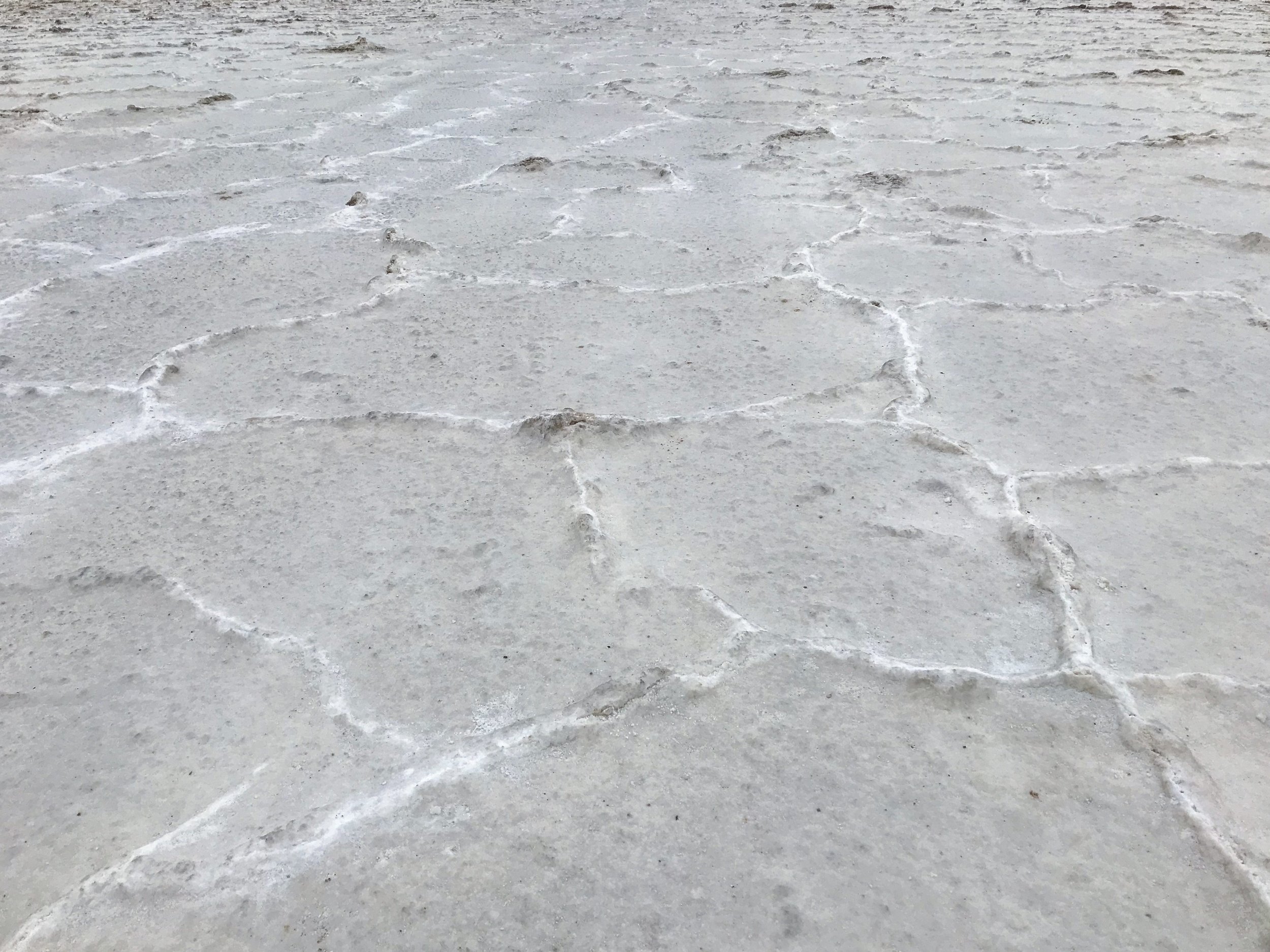
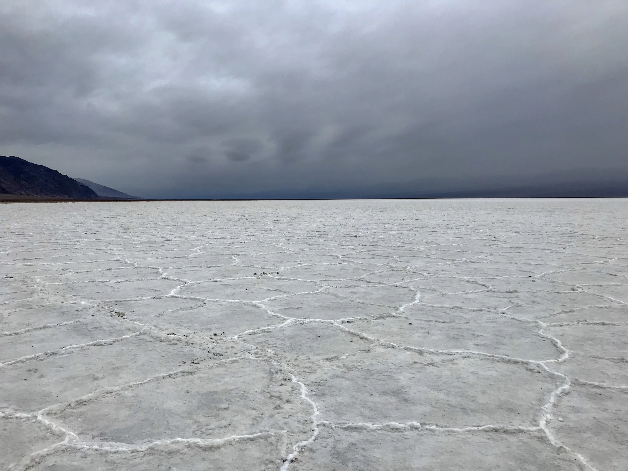
As I walked further out, the salt flats have these raised hexagonal outlines, creating an artistic foreground going into the distance. The vibrant salt, looking like snow, and the unique hues of the storm clouds illuminated the desert. It was so peaceful that I can’t put it into words. I had to sit down for a bit and just take in the moment. Not only was it memorable because it is the lowest point in North America, at an elevation of 282 feet below sea level, but because of it’s unique beauty. It was an experience I will never forget.

I feel like this photo captures my day. Nothing like coming out of storm and feeling at peace. Badwater Basin, Death Valley, CAPhoto By: Nichole McDaniel
A Day in Death Valley: Devil’s Golf Course

The Devil’s Golf Course

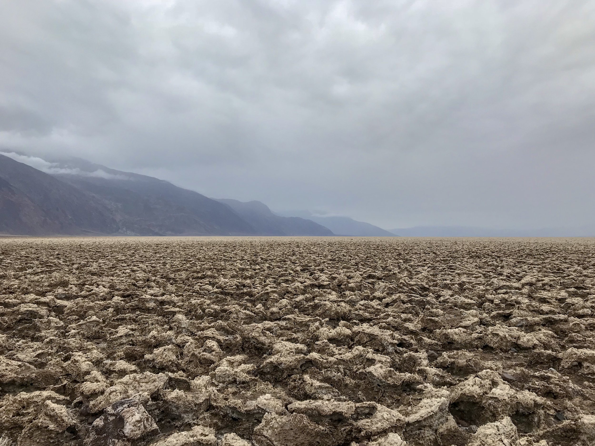
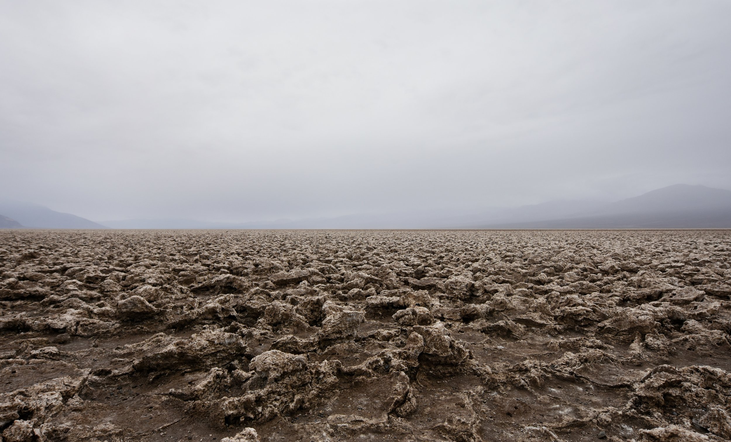
Walking among the salt and rock formations at Devil’s Golf Course, Death Valley National Park

Walking among the salt and rock formations at Devil’s Golf Course, Death Valley National Park

Where "only the devil could play golf" humorously stated the 1934 National Park Service guide book to Death Valley National Monument. Obviously the name stuck. The Devil’s Golf Course can be found 1.3 miles down a gravel road off of Badwater Road. I actually passed it up and had to turn around. This is worth the stop if you have time.

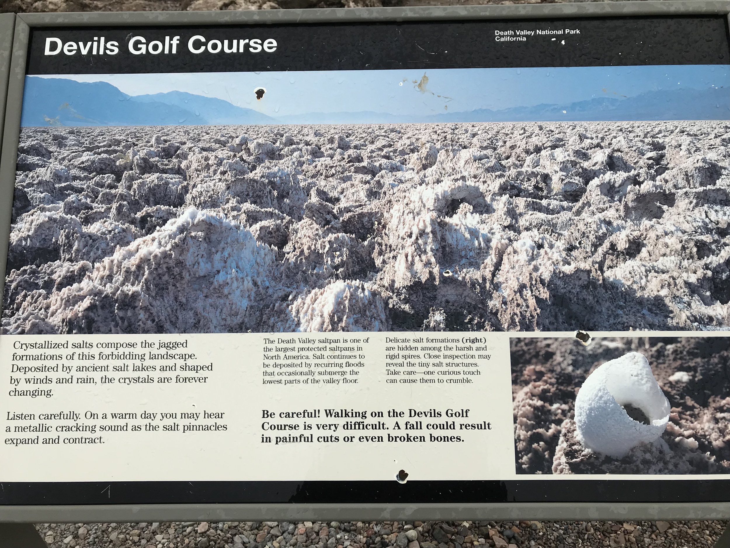
Informational Sign found at the Devil’s Golf Course, Death Valley National Park, CA.Photo By: Nichole McDaniel
These beautiful and other worldly crystalized salts are forever changing with the weather effects of the desert. It was cold when I went but the sign stated on a warm day you can hear the metallic cracking sound caused by the salt expanding and contracting. Sounds cool, maybe next time. The Devil’s Golf Course along with the Badwater Basin were my two favorite stops.

These formations are really sharp, so please be careful. Devils Golf Course is few feet above the flood level in Death Valley unlike the Badwater Basin. Without the water to smooth the salt pan here, salt pinnacles form. These delicate pinnacles form when the salty water rises up from the mud, the capillary action forces the water up, quickly evaporating, leave a little residue of salt behind. These pinnacles develop slowly, sometimes at rate of an inch in 35 years. This site gives a little more detail about the Lake and process that created the Devil’s Golf Course- Geo Maps.

It is one of the quicker of the stops but I doubt you will see anything else like it.

Panoramic Views of the Devil’s Golf CoursePhoto By: Nichole McDaniel

Panoramic Views of the Devil’s Golf Course

Photo By: Nichole McDaniel

A Day in Death Valley: Artist's Palette

A Day in Death Valley: Artist's Palette

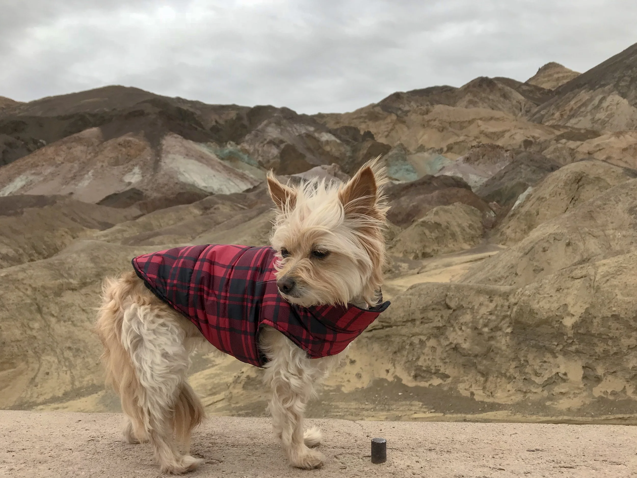
Artist’s Drive is a scenic 9 mile one way loop which is a must and is open to vehicles less than 25 ft in length. While you could just drive the loop, the two vista stops along the way are worth it and as in my case even in the rain. I made a quick change in clothes and bundled up in my rain coat. At least I came prepared.

A Day in Death Valley: Golden Canyon and Red Cathedral

A Day in Death Valley: Golden Canyon and Red Cathedral

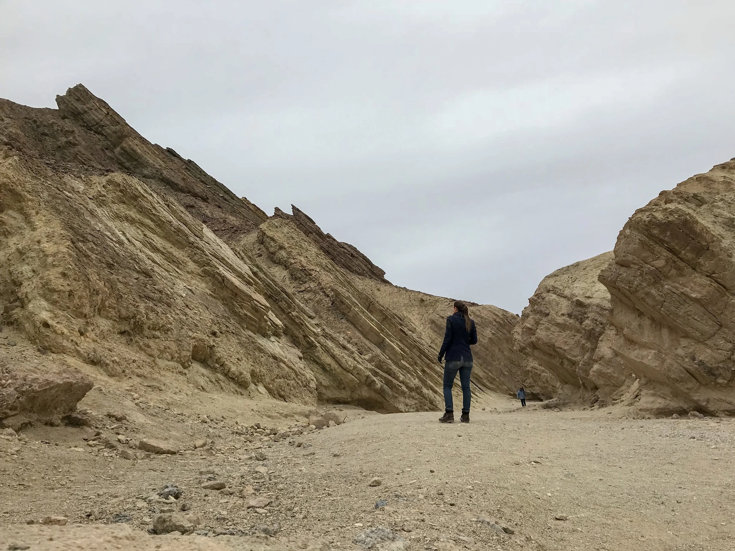
Golden Canyon Hike is probably the most popular hike in Death Valley. Being by myself and exploring, I felt safe seeing a few people here and there. Honestly it was raining off and on all day and I am sure the desert was quieter than usual.

A Day in Death Valley: Dante’s View

A Day in Death Valley: Dante’s View

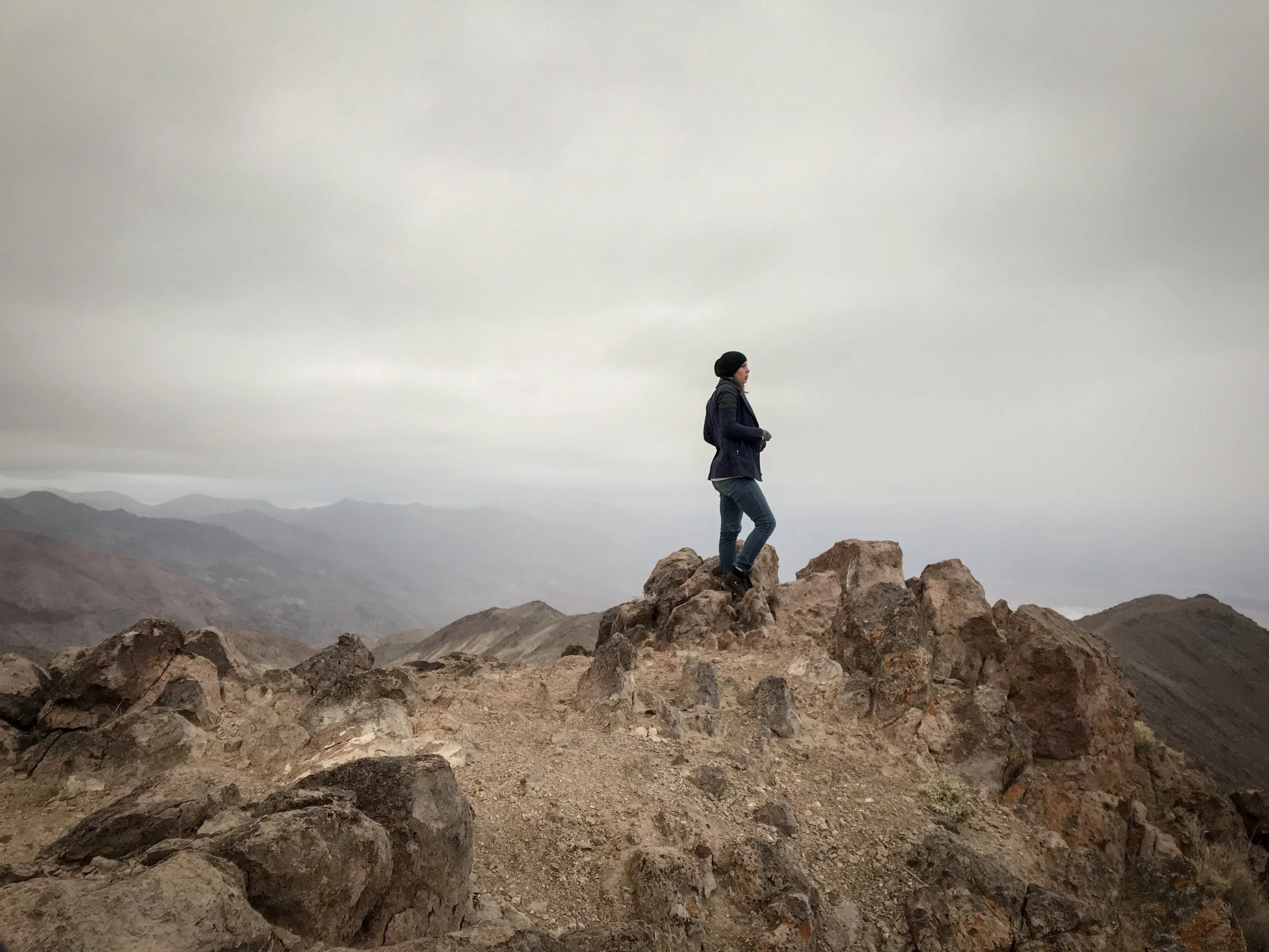
Chasing the sunrise. I decided to drive in the middle of the night and arrived in Death Valley a few hours before sunrise. Two things were happening, it was a new moon and a storm was coming. I was hoping I would get a few star pictures in the pitch black of the night or rolling storm clouds over the desert. Neither were happening this day.

A Day in Death Valley: Zabriskie Point

A Day in Death Valley: Zabriskie Point

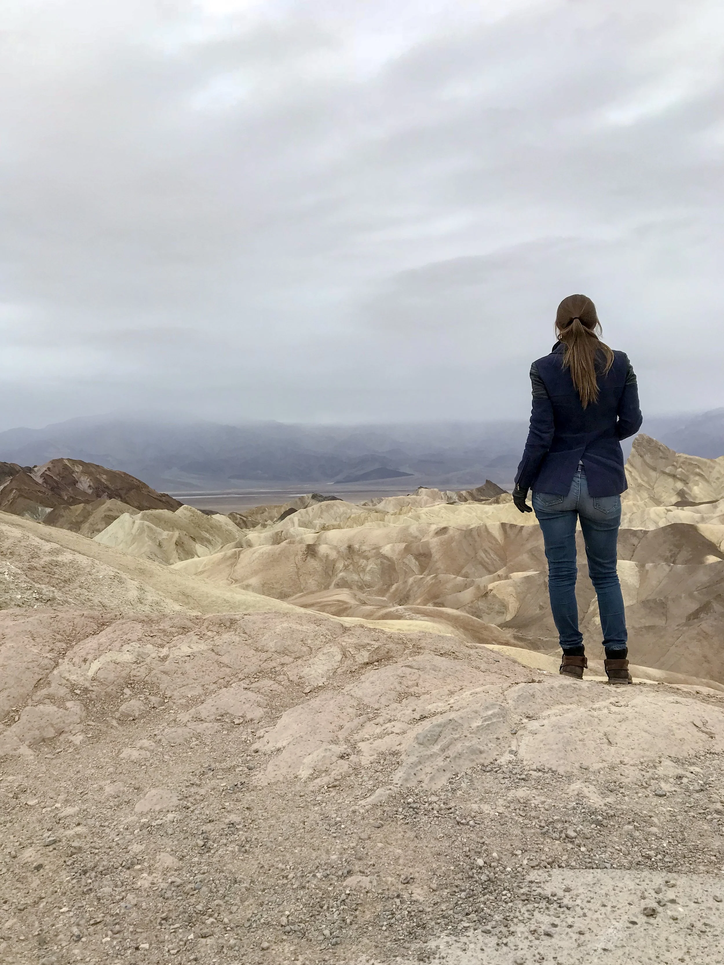
Zabriskie Point would have been another amazing spot to watch the sunrise. These golden colored badlands create breathtaking panoramic views. There is a parking lot below and a short walk up to the view point area. There were several individuals hiking and exploring the tops of the ridges. I was still recovering and warming up from my early start and Dante’s view so I only explored a little.